
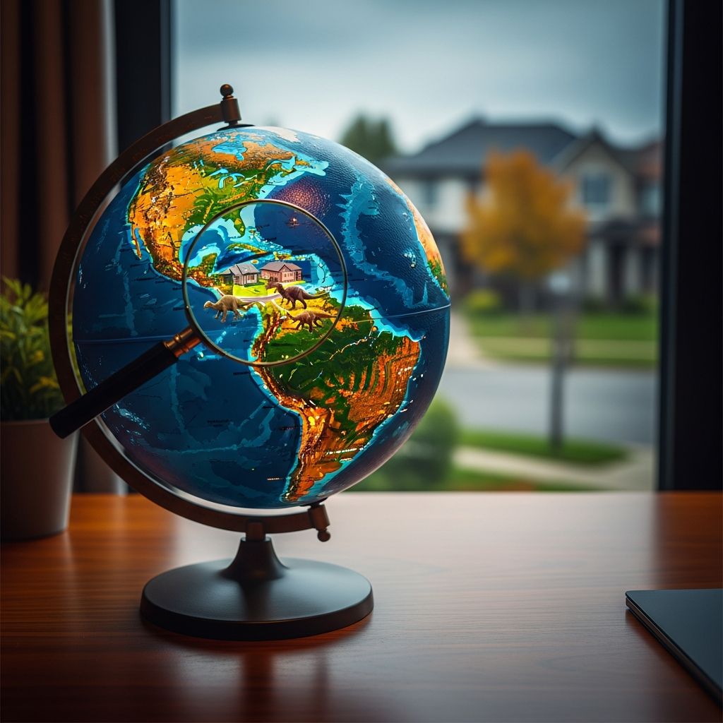
Imagine typing in your home address and instantly seeing where that spot was hundreds of millions of years ago, which ocean or continent it sat on, and what kinds of ancient creatures once lived nearby. That is exactly what the Ancient Earth Globe lets families do, turning modern locations into portals to Earth’s distant past.
What the Ancient Earth Globe Actually Is
The Ancient Earth Globe is an interactive online visualization that lets you spin a 3D planet and jump backward in time up to roughly 750 million years. It combines data from plate tectonics, paleogeographic reconstructions, and fossil records to show how Earth’s surface and life have changed through deep time.
Instead of starting with dinosaurs, the globe presents a broad view of Earth history:
- Multiple time slices from the late Precambrian to the present
- Continental drift based on plate tectonic models
- Ancient coastlines, seas, and mountains reconstructed from geological evidence
- Fossil locations and example species linked to a dinosaur database
Behind the scenes, the globe uses reconstructions built by geoscientists such as C.R. Scotese and the PALEOMAP Project, who model how plates moved, collided, and separated over hundreds of millions of years.
How It Works: From Modern Address to Ancient World
The most engaging feature for kids is the simple search box. You type a city or location, and the Ancient Earth Globe does three things almost instantly:
- Locates your place on the globe in today’s coordinates.
- Moves that point back in time along with the tectonic plate it sits on.
- Shows nearby fossils that paleontologists have discovered in that region over the years.
The result is a red pin marking where your city would have been at a chosen time in the past, plus a short list of fossil species associated with that area. Each fossil name links to a separate page with more detailed information about that organism and where its remains have been found.
Key Controls Kids Can Explore
- Time slider or dropdown: Choose specific ages in millions of years.
- Life milestones menu: Jump to events such as the first coral reefs or the rise of primates.
- City search box: Enter the name of a city to see its ancient location and fossil list.
- Species pins: Open a dinosaur or marine reptile page, then view all the spots where that species’ fossils have been discovered.
Why Dinosaurs Show Up Everywhere
Kids often assume dinosaurs lived in just a few famous places, but the fossil record tells a very different story. Geological surveys and paleontological research indicate that dinosaurs lived on every continent, including Antarctica. During much of the Mesozoic Era, many landmasses were grouped together into supercontinents such as Pangea, which allowed dinosaur lineages to spread widely across the globe.
Today, we find their fossils in:
- North America – from giant sauropods and tyrannosaurs to smaller feathered species
- South America – home to some of the largest known titanosaurs
- Europe and Asia – rich in both early dinosaurs and bird-like theropods
- Africa – with important fossils tracing dinosaur evolution and diversity
- Australia and Antarctica – yielding species adapted to high-latitude conditions
The Ancient Earth Globe illustrates this global distribution by letting kids click on a species and then see multiple fossil locations pinned across ancient continents.
Seeing Continents Move Under Your Address
One of the most powerful lessons the Ancient Earth Globe delivers is that Earth’s surface is not fixed. Over millions of years, rigid tectonic plates slowly shift, collide, and pull apart, rearranging continents and forming new oceans.
When a child enters their city and jumps between time slices, they can watch that point migrate:
- From one side of a supercontinent to another
- From coastal regions to deep inland areas
- From high latitudes toward the tropics or back again
This visual movement demonstrates core ideas of plate tectonics and continental drift, concepts that form the foundation of modern geology and are widely accepted by Earth science agencies and academic institutions.
| Feature | What Kids See | Geological Concept |
|---|---|---|
| Supercontinents like Pangea | All major landmasses merged into one huge block | Plate convergence and continental collision |
| Wide, shallow seas | Ancient oceans covering now-dry land | Sea-level change and subsidence |
| Shifting coastlines | City locations moving from sea to inland | Rifting, spreading, and erosion |
| Mountain belts | New ranges appearing where plates collide | Orogeny (mountain building) and uplift |
Connecting Fossils to Real Places
While the globe is visually impressive, its real educational strength lies in how it marries paleogeography with fossil data. The fossil lists that appear when you search a location are based on discoveries recorded in scientific literature and curated databases.
This means families can:
- See which dinosaur or marine reptile fossils are known from their wider region.
- Click each species to read more about its size, diet, and geologic age.
- Explore maps of all known fossil sites for that species on the ancient globe.
Working with fossil locations helps kids understand that paleontology is evidence-based. Scientists reconstruct ancient ecosystems by studying where fossils are found, which rocks they come from, and how old those rocks are, often using radiometric dating and biostratigraphy.
Using the Ancient Earth Globe as a Learning Tool
Because it combines mapping, deep time, and real fossil data, the Ancient Earth Globe can easily be turned into a family learning activity or a classroom project.
Ideas for Parents and Educators
- Address time-travel: Have children enter your city and record how its location changes at several key times (for example, 300, 150, and 66 million years ago).
- Climate detective work: Ask them to guess what the local climate might have been like based on the latitude and whether the area was land or sea.
- Species spotlight: Choose one dinosaur or marine reptile from the local fossil list and research what it ate, how big it was, and where else it lived.
- Map comparison: Print a modern world map and have kids sketch the outline of one ancient time-slice to compare shapes of continents.
These activities reinforce skills in reading maps and timelines, interpreting evidence, and connecting local experiences to global processes—skills that are emphasized in Earth science education standards.
What the Globe Can and Cannot Show
Although the visualization is powerful, it is based on scientific models that carry uncertainty. Paleogeographic maps become less precise the farther back in time we go, particularly before the breakup of earlier supercontinents.
Some important limitations include:
- Approximate positions: Ancient coordinates are generally accurate to within about 100 kilometers, not down to specific city blocks.
- Incomplete fossil record: Many species never fossilized, and many fossils remain undiscovered. The listed species are examples, not an exhaustive catalog of all life that ever lived near a location.
- Static climate display: While continental position hints at climate, detailed temperature, rainfall, or ecosystem types are not directly shown.
- Focus on selected groups: Dinosaurs and other large vertebrates are emphasized; microfossils and plants are less visible in this kind of tool.
Using the globe alongside reputable science sources—such as geological surveys, academic websites, or museum resources—can help kids understand both how much we know and where the uncertainties still lie.
Why Tools Like This Matter for Kids
Interactive visualizations have become important in science education because they allow students to manipulate complex systems directly, rather than just reading about them. Research in geoscience education shows that many learners struggle to grasp deep time and large-scale Earth processes without visual and spatial aids.
The Ancient Earth Globe supports learning by:
- Making time visible: Students can step through millions of years in seconds, building an intuitive sense of the scale of geologic time.
- Grounding abstract ideas in familiar places: Connecting dinosaurs and ancient seas to a child’s hometown makes deep time feel personal.
- Encouraging inquiry: Each new fossil name or time slice naturally prompts questions about climate, evolution, and extinction.
- Linking disciplines: It brings together geography, biology, geology, and even astronomy when kids notice differences in Earth’s appearance over time.
Frequently Asked Questions
How accurate is the Ancient Earth Globe?
The globe is based on peer-reviewed plate tectonic and paleogeographic reconstructions, but exact positions are approximate. The creator notes that locations are typically accurate to around 100 kilometers, and uncertainty grows further back in time.
Does it show every dinosaur that lived near my home?
No. It lists selected fossils that have been reported from your broader region. Many species never fossilized or have not yet been discovered, so the list represents known examples rather than a complete inventory.
Can kids use this as a primary source for school reports?A: It is a good starting point for ideas and for visualizing where and when species lived. For school reports, students should also cite primary references, museum sites, or government science agencies that provide detailed fossil and geological information.
Q: Does it explain why dinosaurs went extinct?
The tool includes a time slice around 66 million years ago, when a large asteroid impact in what is now the Yucatán Peninsula is widely accepted as a key driver of the end-Cretaceous mass extinction. Students can use that date as a jumping-off point to explore extinction research through scientific articles or museum resources.
Is the globe only about dinosaurs?
No. Though dinosaurs are a major draw, the visualization spans most of Earth history, showing earlier life forms, major evolutionary milestones, and large-scale changes to continents and oceans.
References
- Ancient Earth globe – The Dinosaur Database — DinosaurPictures.org / Ian Webster. 2023-08-01 (last updated, approximate). https://dinosaurpictures.org/ancient-earth
- ‘Ancient Earth globe’ where you can check what kind of dinosaurs lived near where you live — Gigazine. 2022-05-27. https://gigazine.net/gsc_news/en/20220527-ancient-earth-globe-dinosaur/
- Peer into Earth’s Ancient Past — Maps.com. 2020-09-15. https://www.maps.com/earths-ancient-past/
- Where did dinosaurs live? — U.S. Geological Survey (USGS). 2018-03-29. https://www.usgs.gov/faqs/where-did-dinosaurs-live
- Elaltitan on Ancient Earth globe — DinosaurPictures.org. 2021-06-10 (last updated, approximate). https://dinosaurpictures.org/ancient-earth/view/Elaltitan
- Interactive Map Shows Kids Which Dinosaurs Would Have Been Near Their House — Fatherly. 2023-02-10 (approximate). https://www.fatherly.com/news/ancient-earth-globe-dinosaur-locations